
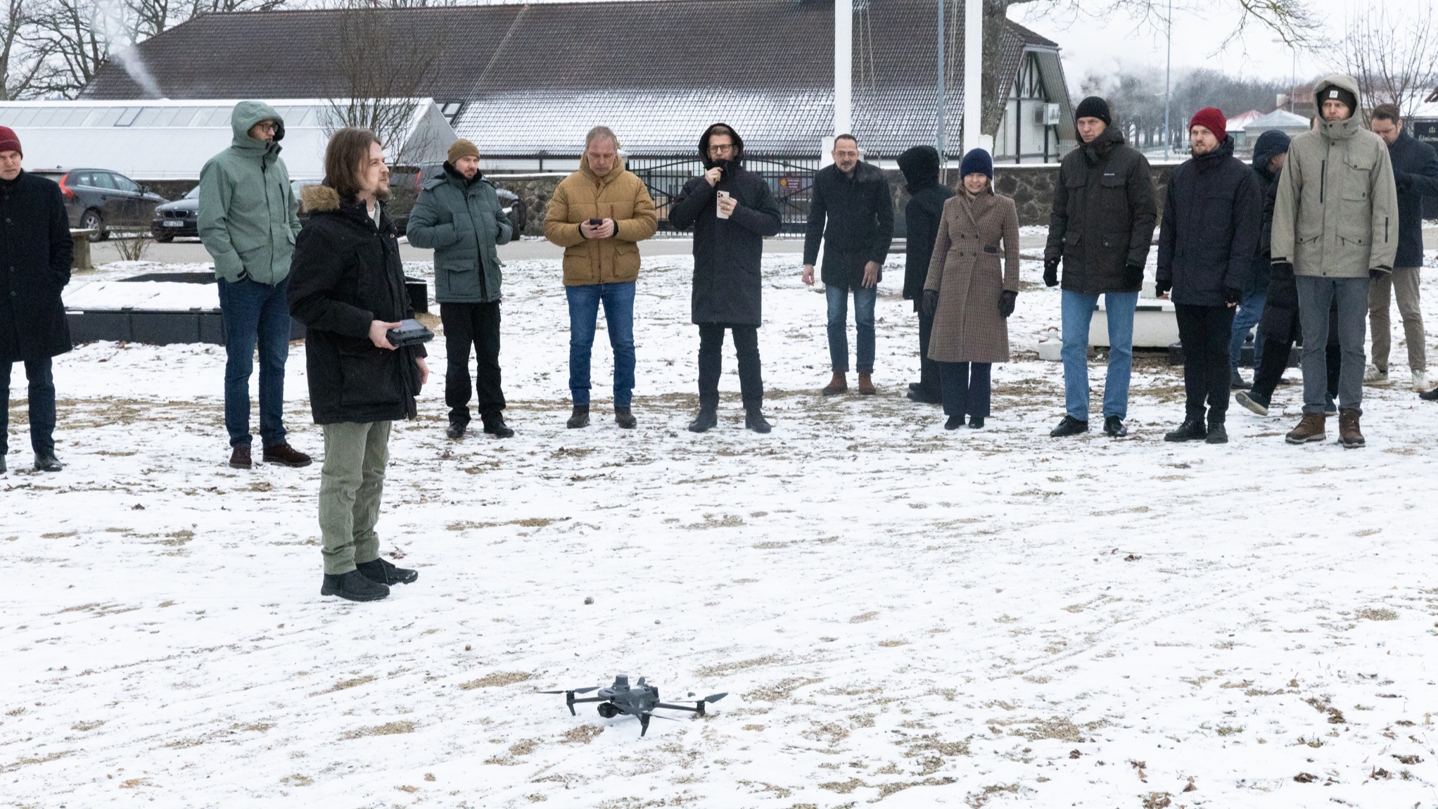
On the 12th of February, Vidzeme Planning Region organized a seminar “Drone Data Collection and Processing – use cases in Latvia” in Valmiermuiža as part of the “Smart Skies” project, bringing together 50 participants from Latvia and Estonia.
The seminar program was designed to introduce the current examples of drone use in Latvian municipalities, as well as share the experience of leading companies in Latvia. Large enterprises, such as LMT and Latvian State Forests have already taken great strides in the application and development of unmanned aviation solutions.
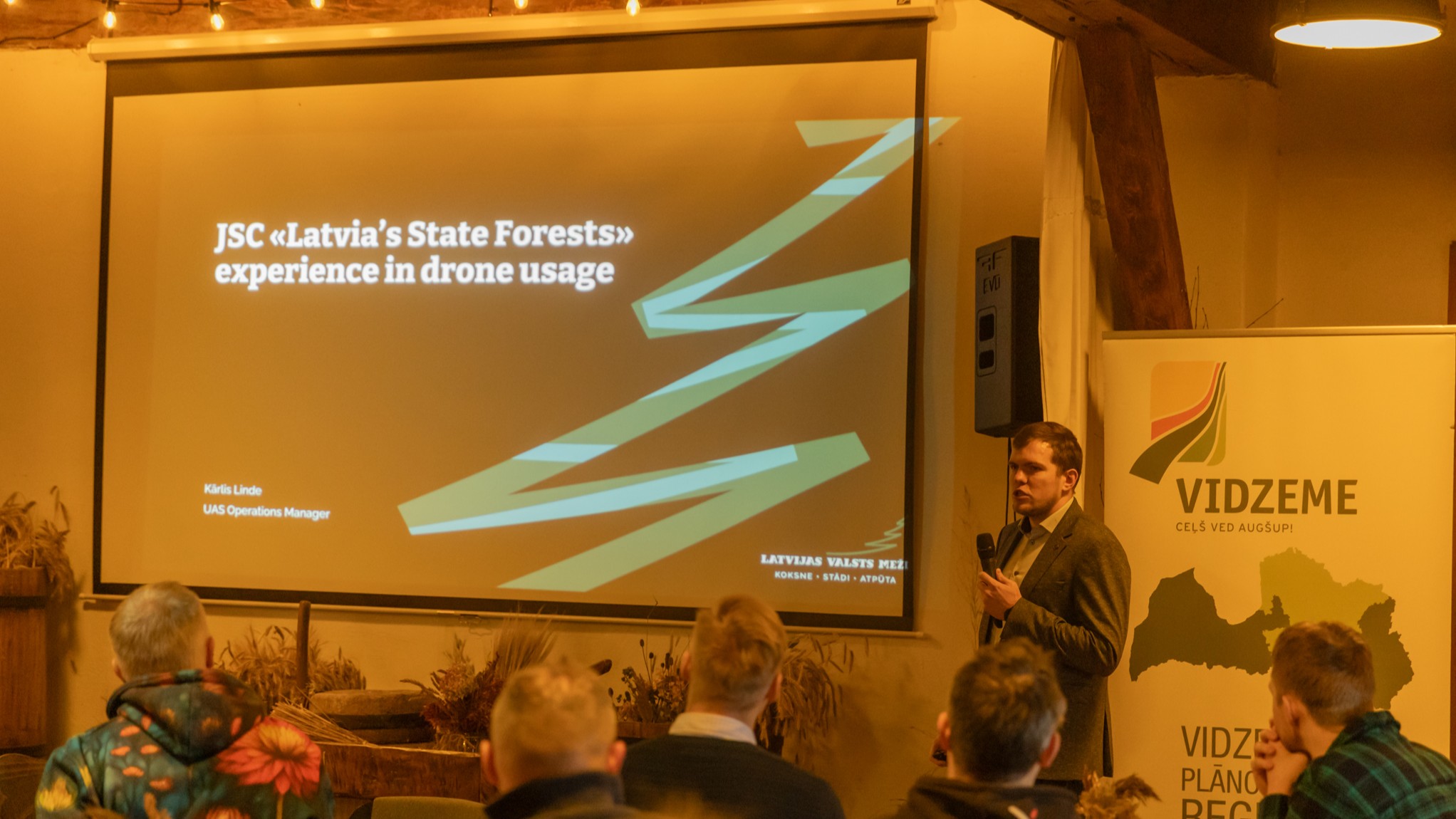
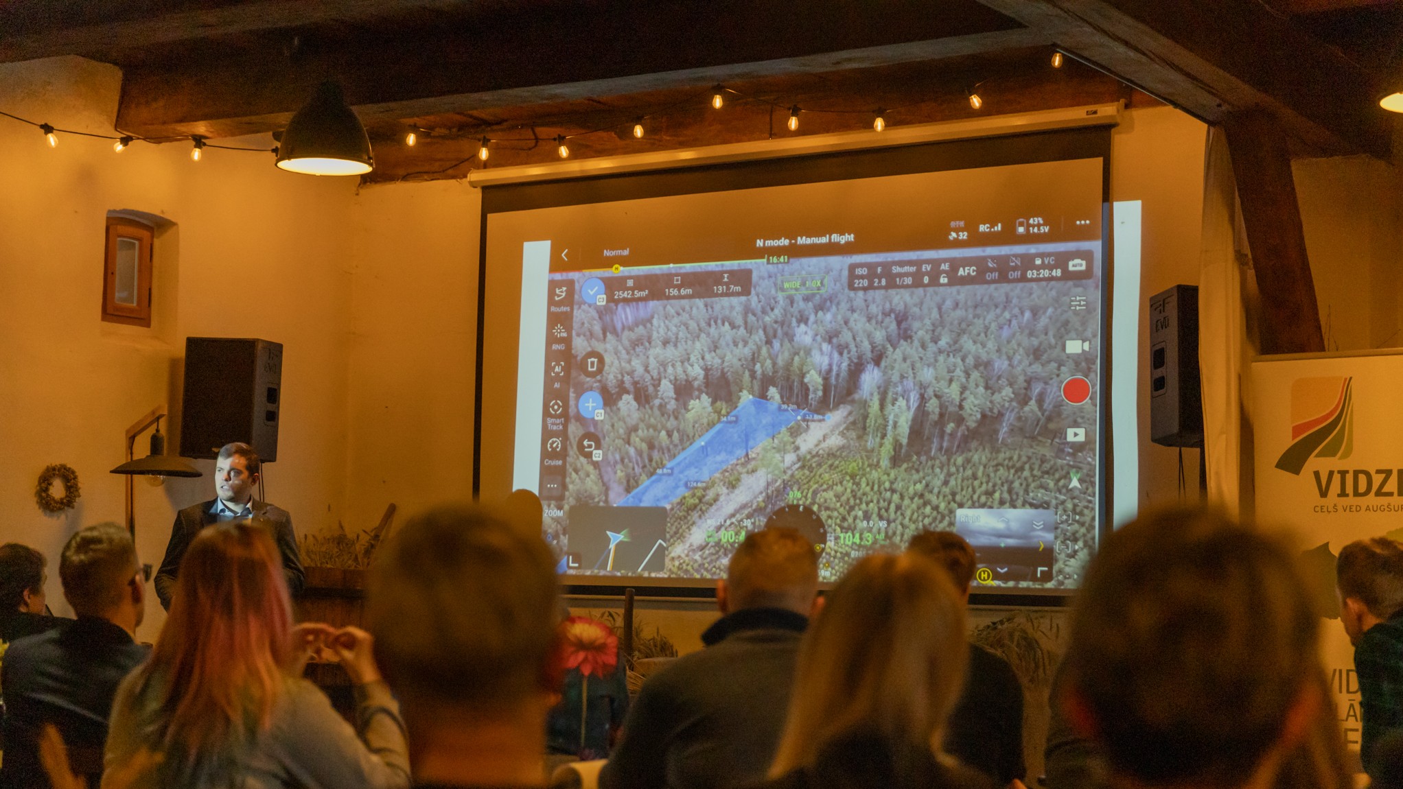
Kārlis Linde, the head of unmanned aircraft exploitation at “Latvijas valsts meži” (Latvian State Forests), told how since 2014, when the first drone flights were carried out for land surveying purposes, the company has gradually become one of the pioneers in UAV applications. Since then it has grown to a large fleet of more than 170 drones and 500 trained pilots.
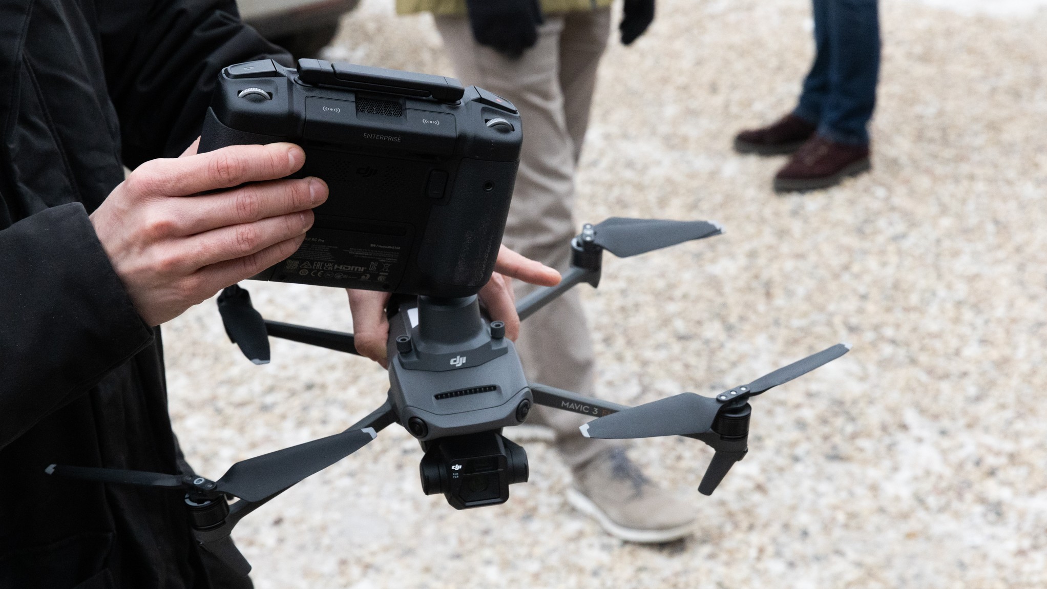
A useful assistant for LSF specialists in forestry work is the DJI “Mavic 3” series drone, which was demonstrated in action by the drone service and training company “dronueksperts.lv”.
Several tasks that Latvia State Forests perform in its territories with the help of drones – surveying drainage ditches and forest roads – are also planned for piloting in Valmiera municipality within the “Smart Skies” project.
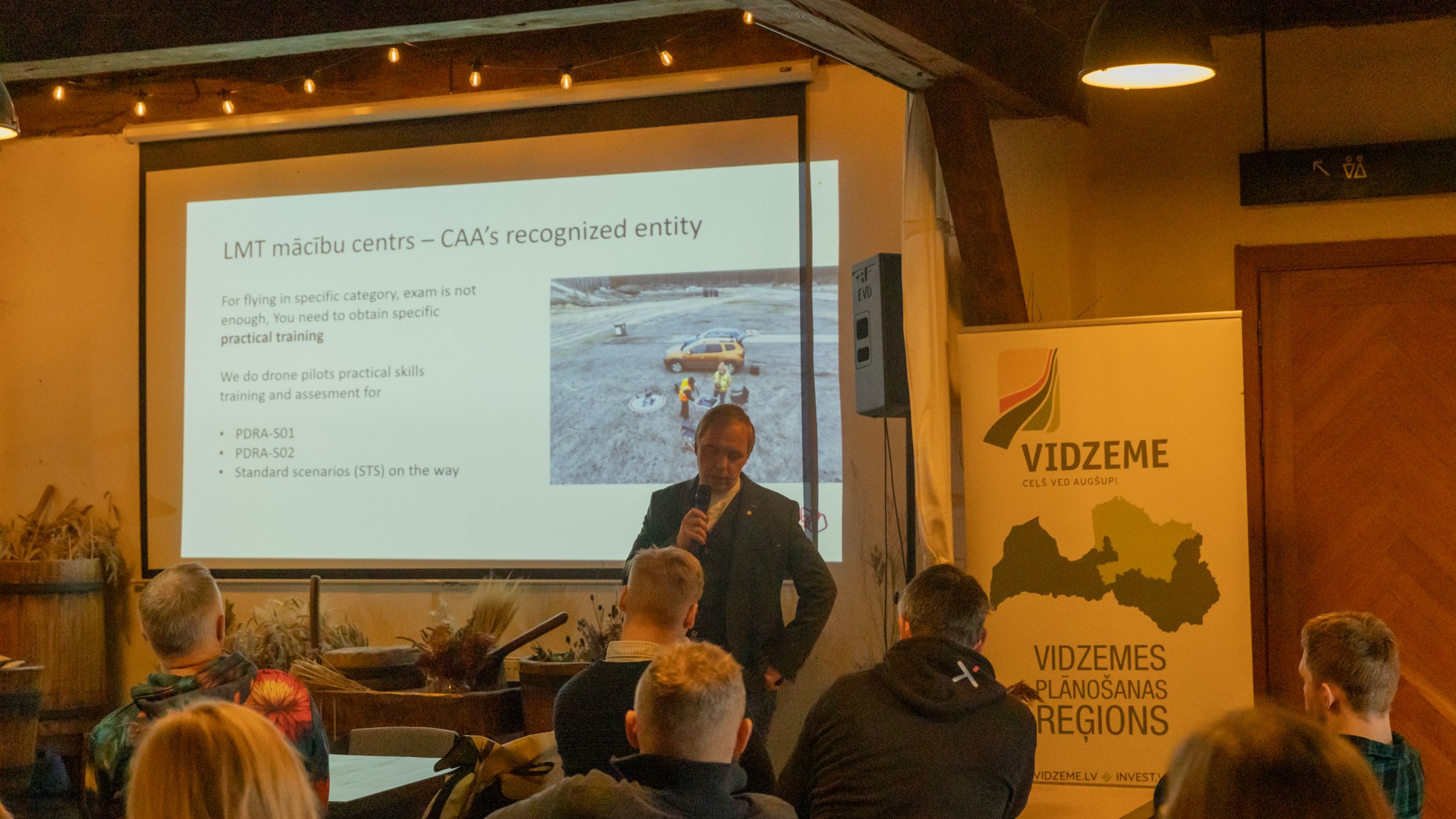
Experts from “Latvijas Mobilais Telefons” (Latvian Mobile Telephone) also emphasized the importance of drone pilot training in their presentation, also outlining the company’s innovation development directions. LMT, together with Riga Municipal Police, is working on the “5G4Lives” project, which will ensure drone flights beyond visual line of sight (BVLOS) using 5G network coverage.
Similarly, the head of LMT UAV pilot training, Mikus Porietis, highlighted the importance of a common understanding of the existing airspace regulation for all those involved in the operation and monitoring of drone flights. The main flight supervisor is the Civil Aviation Agency, and the airspace for flights is limited by the restriction zones set out on the “Latvian Air Traffic” map, not by any internal municipal regulations.
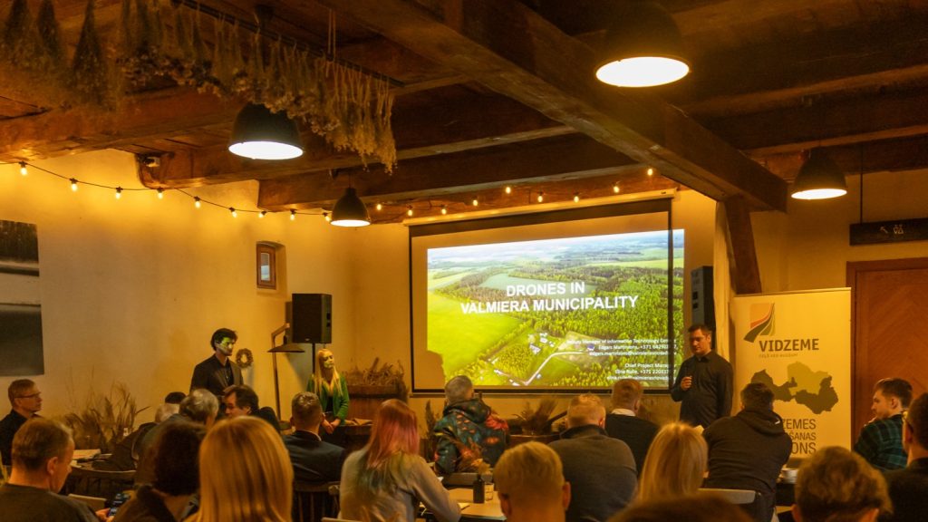
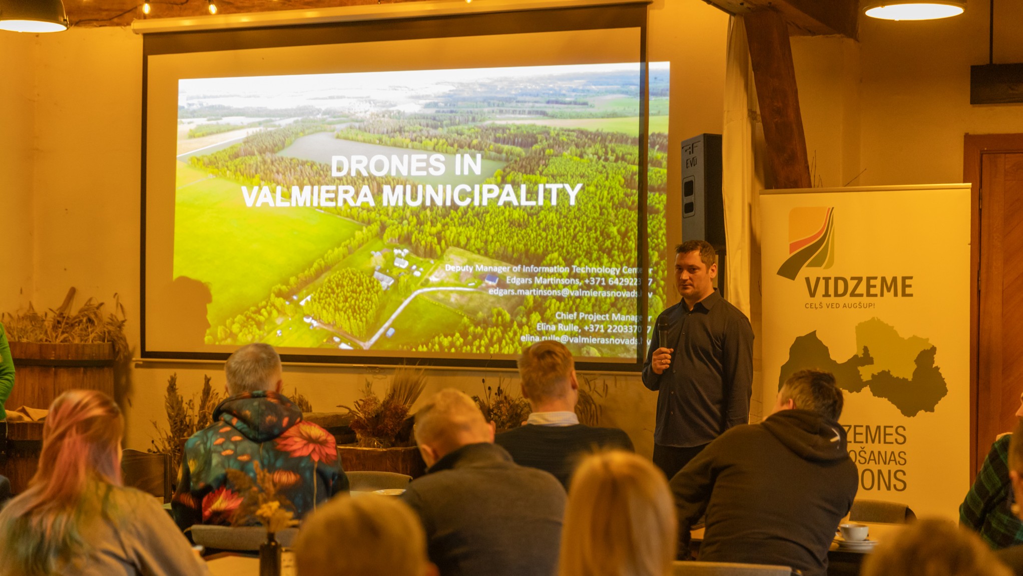
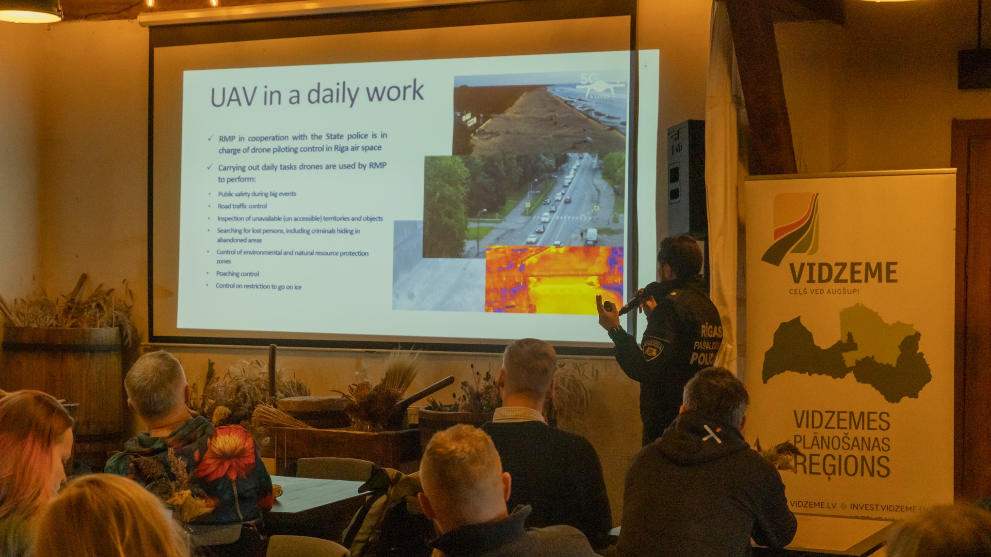
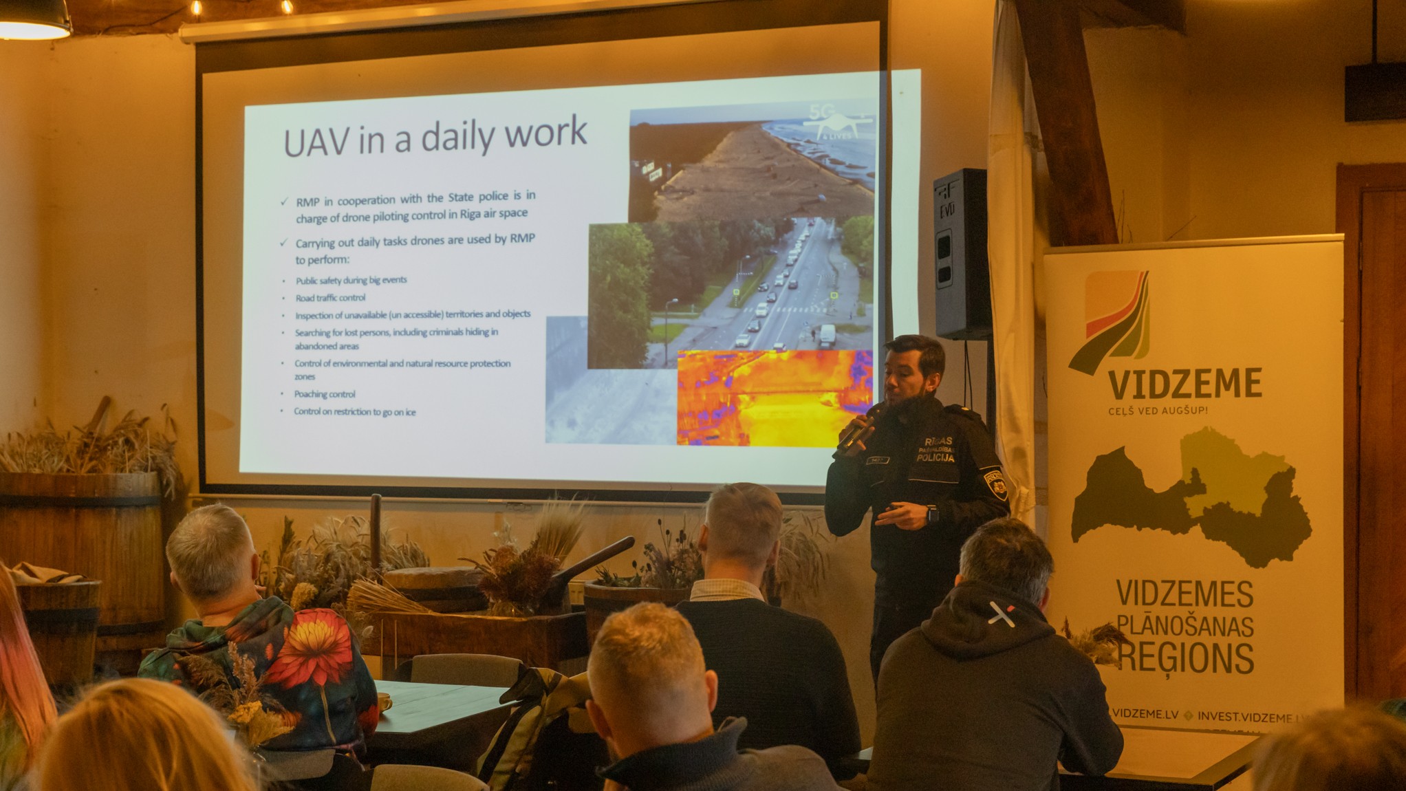
Representatives from the Valmiera County and Riga City municipalities also shared their experience in the use of unmanned aircraft.
Drones are already present in some of their daily operations, but both municipalities have greater goals and ambitions for drone flights beyond visual line of sight (BVLOS), which the operator can control remotely.
Riga Municipal police will pilot this solution in Vecāķi beach and Lake Ķīšezers. Testing BVLOS flights is also an ambition of Valmiera Municipality, in addition to already exploiting drones with direct presence of an operator.
The event was attended by 50 participants from both Latvia and Estonia – representatives of local governments, state institutions, academic sector, as well as technology companies, using the opportunity to establish contacts and discuss current issues in the field.
Such seminars are organized quarterly within the framework of the “Smart Skies” project with the aim of creating a common contact network – a unified “drone ecosystem” – to bring together the interested parties.
More information about the “Smart Skies” project – here.
The project “Joint development of drone-based municipal services” (Smart Skies (EE-LV00141)) is implemented with the financial support of the EU Interreg Estonia-Latvia program for 2021–2027.
This message reflects the author’s opinion. The program’s managing authority is not responsible for the possible use of the information contained therein.